
Africa, East - Marine Charts
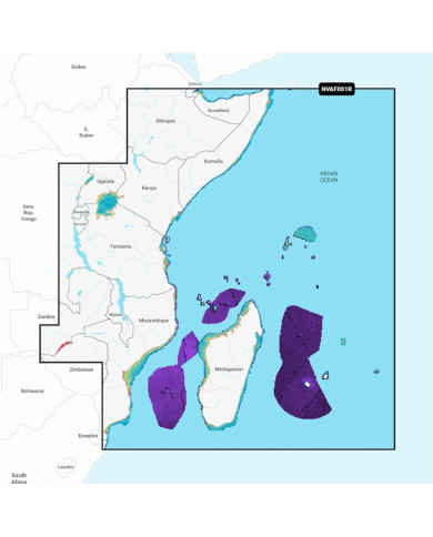
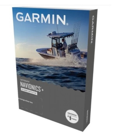
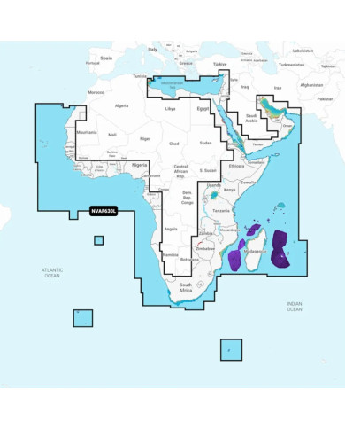
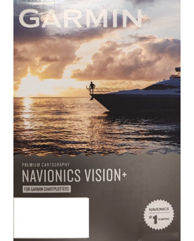
Garmin Navionics Vision+™ | NVAF001R | microSD™/SD™ and One-year Subscription
Coverage
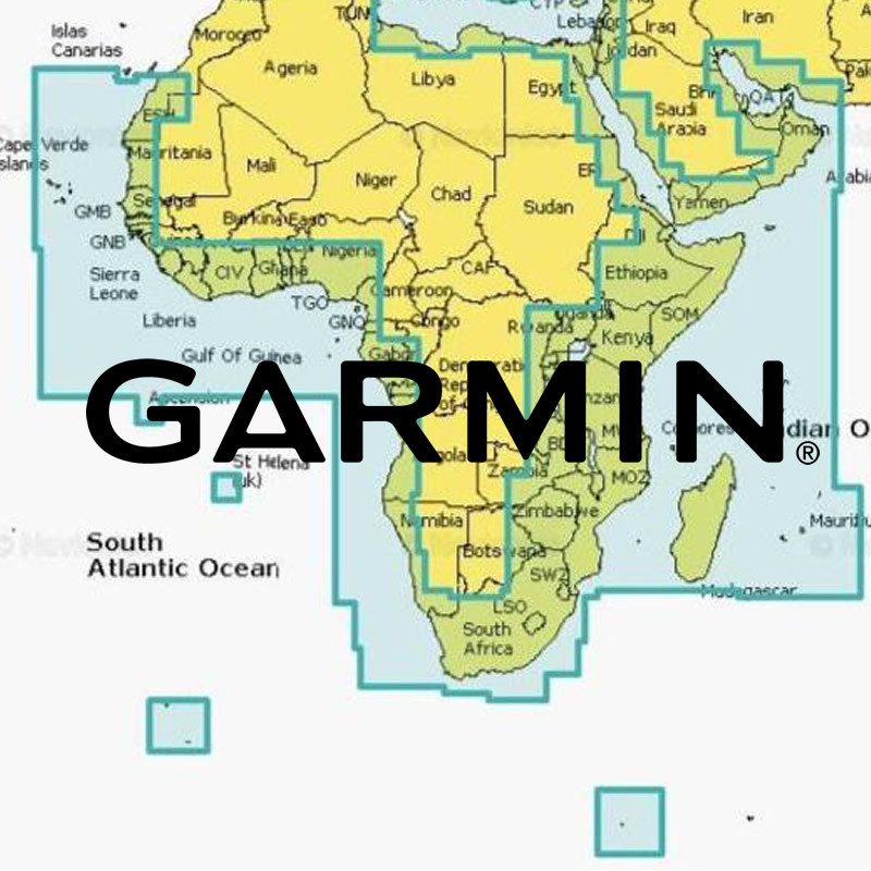
Coastal coverage of the east coast of Africa from Maputo Bay to the Horn of Africa, Zanzibar, Madagascar, Mauritius, Reunion and the Seychelles
Africa Southern Coastal and Inland Charts
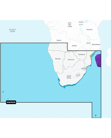
Garmin Navionics Vision+™ | NVAF002R | microSD™/SD™ and One-year Subscription
Detailed coverage of the coast of Southern Africa and it's major inland lakes and Waterways.... Namibe, Ang. to Angoche Island, Moz. Tristan da Cunha Islands, St. Helena Island and the Prince Edward Islands.
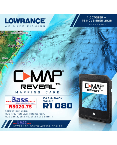
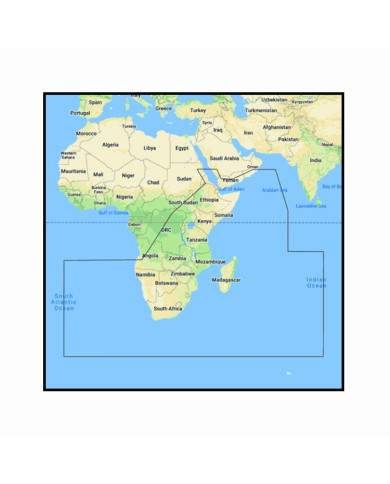
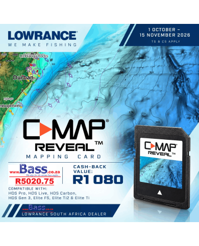
C-Map REVEAL C-Map REVEAL SOUTH & EAST AFRICA with Shaded Relief Marine Chart
Southern Angola to Oman
R 1 080.00 CASH BACK REBATE SPECIAL OFFER
Area M-AF-Y209-MS
Includes 1st Year Update Subscription
On Micro sd Card
REVEAL charts bring you the very best of C-MAP, including Shaded Relief – bringing the world around and beneath you to life in a completely new way.
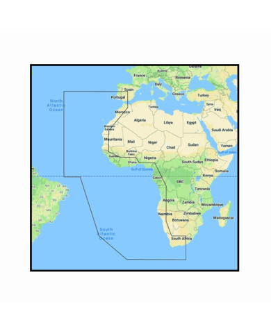
C-Map REVEAL WEST AFRICA with Shaded Relief Marine Chart
Southern Portugal to Delagoa Bay
R 1 080.00 CASH BACK REBATE SPECIAL OFFER
Includes 1st Year Update Subscription
On Micro sd Card
REVEAL charts bring you the very best of C-MAP, including Shaded Relief – bringing the world around and beneath you to life in a completely new way.