


There are no more items in your cart
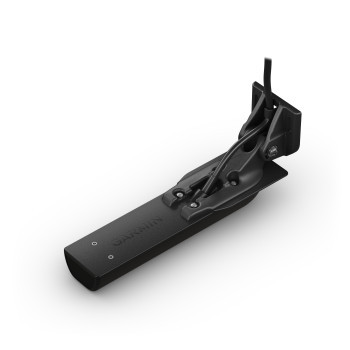
SKU:
010-13983-21
Brand:
Garmin
R1,999.00
R1,799.10
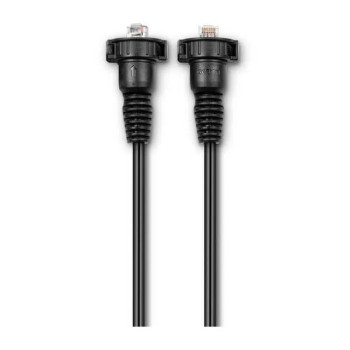
Garmin Extension Network Cable for LiveScope 2 Transducer Series LVS42HD & LVS44
3 Foot
Extend the length of your compatible LiveScope 2 or LiveScope 2 HD transducer network cable
R1,999.00
R1,799.10
COMING SOON TO SOUTH AFRICA PRE PAID ORDERS ACCEPTED - ETA EARLY AUGUST 2026
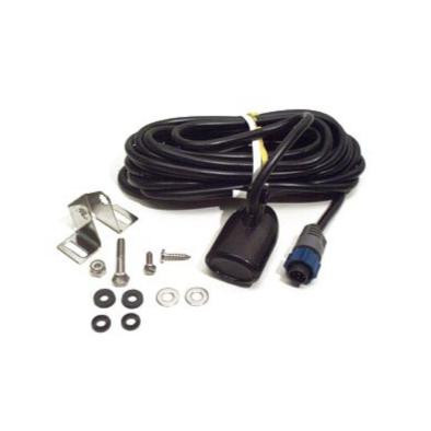
SKU:
010-10272-10
Brand:
Garmin
R1,899.00
R1,804.05
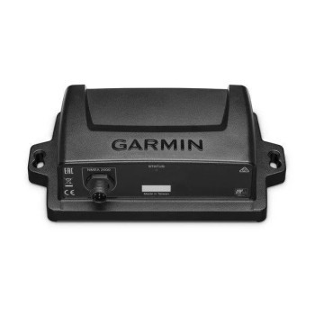
Garmin Dual Frequency Xdcr,8-pin,Diff,DF Transducer
R1,899.00
R1,804.05
In Stock at Local Warehouse. Allow 3 Days for us to Recieve
SKU:
RAM-111U
Brand:
RAM Mounts
R1,900.00
R1,805.00
Lowrance MB-8 RAM Mounting Bracket MEDIUM DUTY
RAM -111U DRILL DOWN MARINE ELECTRONIC MOUNT
- Lowrance MB-8 RAM
- 1.5 inch Ball Diameter
- 8 inch Medium Double Scocket Arm
- Suitable for 7 in and lighter Chartplotter and Fishfinder Displays
- 2.5 inch diameter round base
- 6.25 inch x by 2 inch Rectangle MFD Mounting Plate base w different combinations of pre-drilled holes
- Matches up to many electronic devices and mounts
R1,900.00
R1,805.00
Can Collect COD from World of Fishing or Courier Ships Direct to your Door
SKU:
000-12612-001
Brand:
Lowrance
R1,960.00
R1,862.00
Lowrance N2K NMEA2000 4-Way Tee Piece Micro-C Joiner
Connect four drop cables to your NMEA 2000 network at once with this 4-Way Micro-C Joiner.
Features Industry Standard Micro-C 5 Pin Waterproof Connectors
R1,960.00
R1,862.00
Can be collected Pre Paid Ex Durban Trade Counter or Ships Direct per Courier to Your Door
SKU:
RAM-D-111BU
Brand:
RAM Mounts
R1,929.00
R1,832.55
RAM MOUNT PLATE BASE 11" X 3" WITH 2 1/4" Size D BALL
RAM® Large Marine Electronics Ball Adapter - D Size
The Powder Coated Marine Grade Aluminum SHORT double socket arm has a socket at either end to allow a 2.25" diameter ball accessories to be connected. Overall Length: 5.0625"Socket-To-Socket Length: 3.1875"
R1,929.00
R1,832.55
Ships Direct from Supplier Warehouse
SKU:
010-12842-00
Brand:
Garmin
R2,199.00
R1,979.10
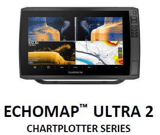
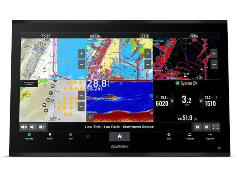
Garmin Echomap Ultra Bail Mount with Quick Release Cradle
Surface mount your compatible ECHOMAP™ Ultra chartplotter/sounder combo using our bail mount with knobs; the mount tilts for optimum viewing. Plugging the cables into the mount’s quick-release cradle allows you to seat/unseat your device with ease.
R2,199.00
R1,979.10
Allow 3-5 Working Days to Recieve from Central Warehouse to Shipping
SKU:
010-12017-00
Brand:
Garmin
R2,199.00
R1,979.10
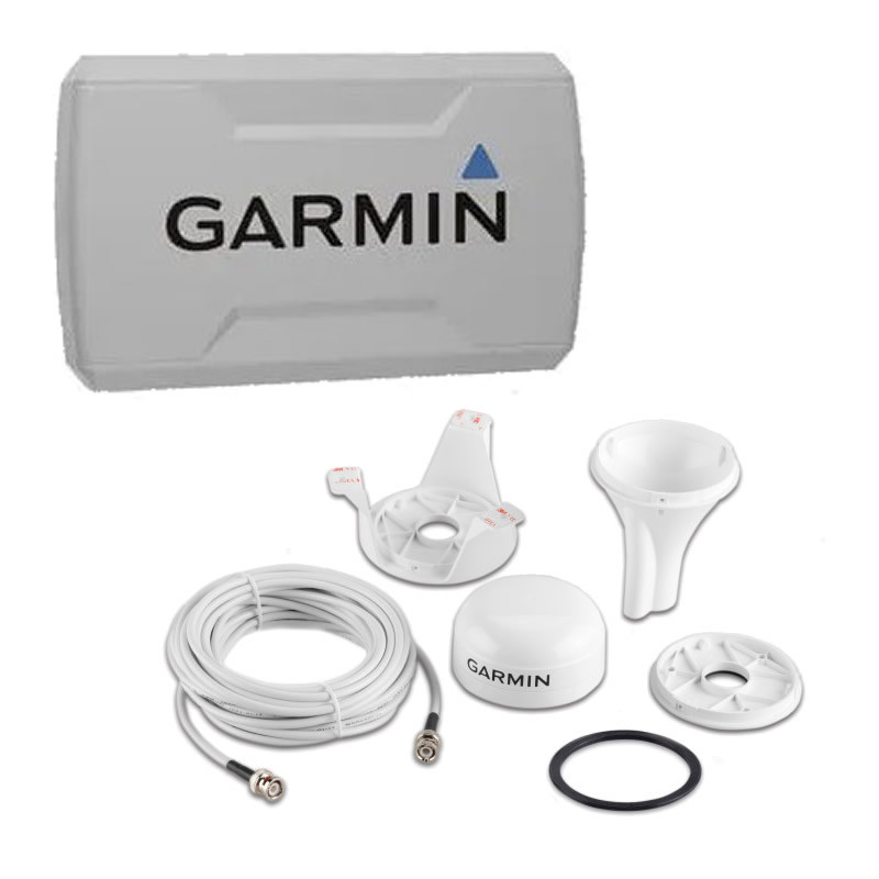
Garmin GA™ 38 GPS/GLONASS Antenna for Garmin VHF, AIS and Chartplotters
- GA 38
- Surface mounting bracket
- Pole mounting bracket
- Under-deck mounting bracket
- Mounting hardware
- BNC-BNC antenna cable (32 ft/10m)
- Installation instructions
R2,199.00
R1,979.10
In Stock at Local Warehouse. Allow 3 Days for us to Recieve
SKU:
RAP-401U
Brand:
RAM Mounts
RAM Tough-Claw Large Clamp with 1.5 inch C Size Ball Base
The RAM® Tough-Claw™ is the perfect mounting base for toolless installation and removal on round, square, and odd-shaped rails and bars. The large version of the RAM® Tough-Claw™ can quickly be clamped on rails ranging from 1" to 2.2" in outer diameter and is ideal for mounting phones, tablets, action cameras, rod holders, and much more in a wide variety of applications.
R1,999.90
Ships from or can be Collected at Word of Fishing
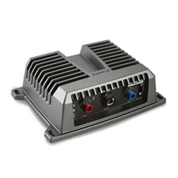
SKU:
000-0106-48
Brand:
Lowrance
Lowrance HST-WSU 83-200 khz Skimmer Transducer
Key Features
83 kHz With 52° Beam Width
200 kHz With 22° Beam Width
Up to 1000-Foot (300-Meter) Range at 83 kHz
1 Internal Broadband Ceramic Element
Transom-Mounted with Plastic Housing
Suitable for Any Hull
Compatible with Elite-3x and many legacy displays
R2,010.00
Can Collect Pre Paid from from Durban Warehouse or Courier Ships to Your Door
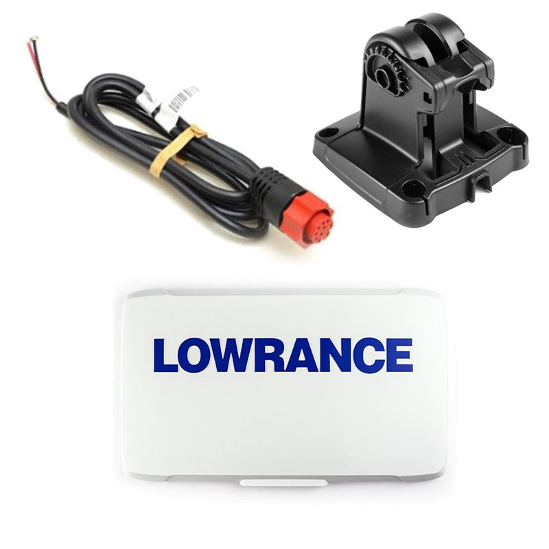
SKU:
000-14588-001
Brand:
Lowrance
R2,150.00
R2,042.50
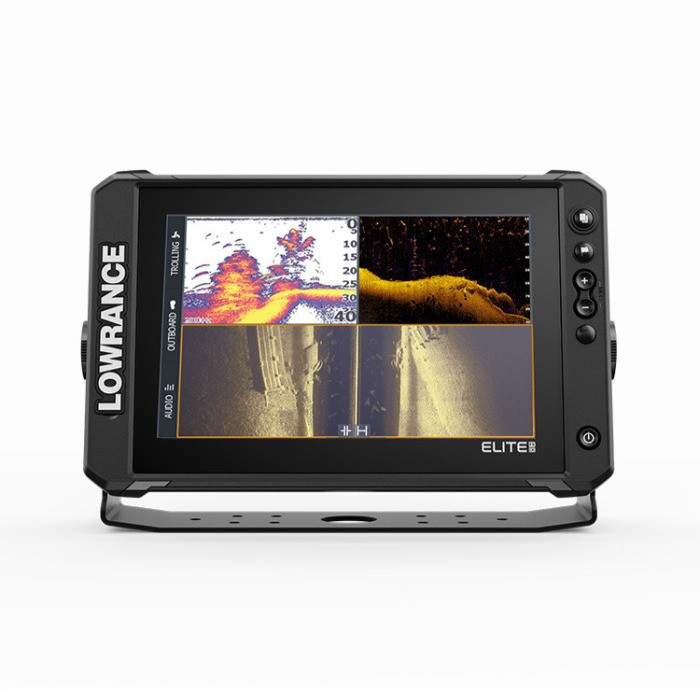
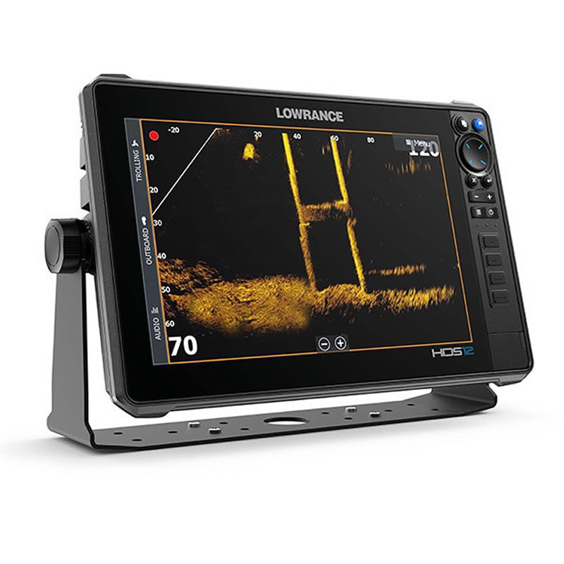
Gimbal Bracket for Lowrance HDS-12 PRO & HDS-12 LIVE & ELITE FS - 12
FITS:
LOWRANCE HDS PRO -12
LOWRANCE HDS-12 LIVE
LOWRANCE ELITE FS-12
EXCLUDES GIMBAL KNOBS
R2,150.00
R2,042.50
Can Collect Pre Paid ex Durban Warehouse or Ships Nationwide per Courier Shipping Option
SKU:
000-0127-30
Brand:
Lowrance
R2,150.00
R2,042.50
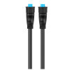
Lowrance & Simrad 25 foot Ethernet Cable ETHEXT-25YL
Lowrance (Yellow Plug) HighSpeed Ethernet Connection Cable
25 Foot Length
R2,150.00
R2,042.50
Can be Collected ex Durban Warehouse or Choose Courier Shipping Option. Not stocked in Northcliff Store
SKU:
000-0119-83
Brand:
Lowrance
R2,150.00
R2,042.50
Lowrance N2KEXT-25RD 25 foot NMEA 2000 Network Cable
25 Foot Length Cable for Use with NMEA 2000 Networks
With Micro-C Industry Stand 5 Pin Waterproof Connectors
R2,150.00
R2,042.50
Can Collect Pre Paid ex Durban Warehouse or Courier Ships to Your Door (Not Stocked in Northcliff Store)