
 Transducer")

 Transducer")
 Transducer")
 Transducer")


There are no more items in your cart
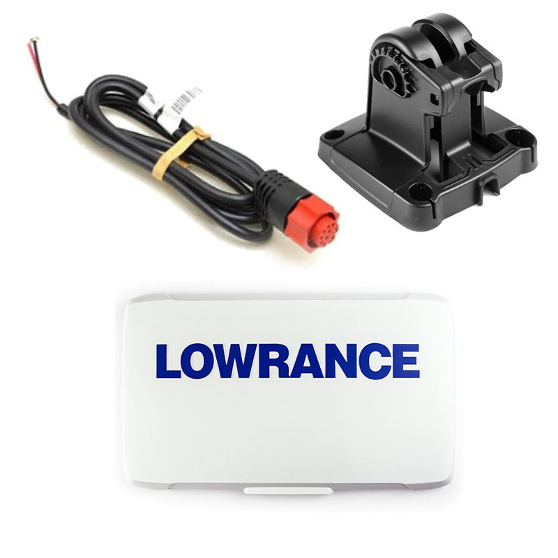
SKU:
000-0124-69
Brand:
Lowrance
R2,445.00
R2,322.75
Lowrance NMEA 2000® starter kit
Backbone required to install one or more NMEA 2000® devices.
Built with Micro-C Industry Standard Connectors
R2,445.00
R2,322.75
Can Collect COD from World of Fishing or Courier Ships Direct to your Door
SKU:
000-14886-001
Brand:
Lowrance
R2,500.00
R2,375.00
Lowrance POD 83-200 khz 9-Pin In Hull Med/High CHIRP (No Temp) Transducer
9 Pin (Black) Plug
Power 200 Watt
Shallow Water (</= 300 m / 1000 ft)
Cone Angle:
200 khz: 20 Degree
83 khz: 60 Degree
Shoot Thru Hull (Or Trolling Motor, but no temperature)
Depth Only
R2,500.00
R2,375.00
Can Collect Pre Paid from from Durban Warehouse or Courier Ships to Your Door
SKU:
000-14884-001
Brand:
Lowrance
R2,640.00
R2,376.00
Lowrance HST-WSBL 83-200 khz Skimmer Transducer 9 Pin Black Socket
Power 600 Watt
Shallow Water (</= 300 m / 1000 ft)
Cone Angle:
200 khz: 20 Degree
83 khz: 60 Degree
With Temperature
R2,640.00
R2,376.00
Can Collect Pre Paid from from Durban Warehouse or Courier Ships to Your Door
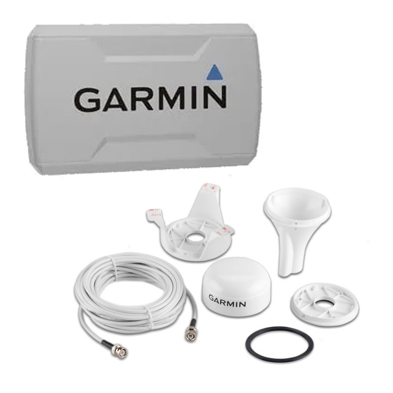
SKU:
010-01960-00
Brand:
Garmin
R2,799.00
R2,519.10
Garmin GT20-TM 4-pin (ECHOMAP CHIRP/PLUS 4cv/6cv STRIKER 4cv/5cv/7cv units) Transducer
R2,799.00
R2,519.10
In Stock at Local Warehouse. Allow 3 Days for us to Recieve
SKU:
003-29221-00
Brand:
Lowrance
R2,655.00
R2,522.25
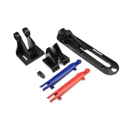
Replacement Lowrance ActiveTarget Transducer Trolling Motor Shaft Bracket
R2,655.00
R2,522.25
Can Collect Pre Paid ex Durban Trade Counter or Courier Ships Direct to Your Door. Not Stocked in Northcliff Store!
SKU:
000-11010-001
Brand:
Lowrance
R2,690.00
R2,555.50
Lowrance HDS VIDEO ADAPTER CABLE
Works with: HDS Gen2 Touch, HDS Gen3, HDS Carbon HDS LIVE and HDS PRO 9 - 10 - 12 and 16 inch units.
View video on Screen
Operates in full, split screen and panel adjusted configurations
Accepts composite video on RCA jack
Compatible with NTSC or PAL
Fits in line with current power cable
R2,690.00
R2,555.50
Can Collect Pre Paid at Durban Trade Counter or Choose Courier Shipping Option. Not Stocked in Northcliff Store
SKU:
000-10606-001
Brand:
Lowrance
R2,570.00
R2,441.50
Lowrance Sit on Top Kayak Scupper Hole Transducer Mount
(Mount Only)
Easy to install in most kayak scupper openings with few tools and without messy adhesives.
R2,570.00
R2,441.50
Can Collect ex Durban Warehouse or Courier Ships to Your Door
SKU:
010-02080-02
R2,999.00
R2,698.00
Fusion EL Series Marine Speakers
Classic White Pair
(non RGB model)
6,5 Inch Flush Mount
RMS Power 20 Watts
Peak Power 80 Watts
Set of Two
R2,999.00
R2,698.00
Requires 3 Days to Arrive from Central Warehouse - Not Stocked in Northcliff Retail Showroom
SKU:
000-14028-001
Brand:
Lowrance
R2,840.00
R2,698.00
HOOK² / Hook Reveal SplitShot Skimmer Transducer
-
SplitShot Skimmer® Transducer featuring, wide-angle, High CHIRP sonar and DownScan Imaging™.
-
Med / Hi CHIRP (83/200kHz) + 455/800kHz Plus Temp
- Compatible with Lowrance HOOK² / Reveal Displays
R2,840.00
R2,698.00
Can Collect Pre Paid ex Durban Warehouse or Choose Courier Shipping Option. Not Stocked in Northcliff Store
SKU:
000-0127-37
Brand:
Lowrance
R2,785.00
R2,645.75
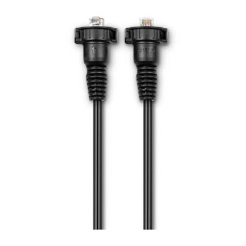
Lowrance 50 foot Ethernet Cable ETHEXT-50YL
Lowrance (Yellow Plug) HighSpeed Ethernet Connection Cable
50 Foot Length
R2,785.00
R2,645.75
Can Collect Pre Paid Ex Durban Warehouse or Choose Courier Shipping Option. Not Stocked in Northcliff Store
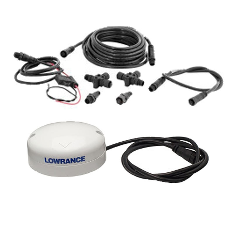
SKU:
000-11518-001
Brand:
Lowrance
R2,965.00
R2,816.75
Lowrance NMEA2000 Fluid Level Sensor
REPLACES EP65
The Fluid Level Sensor helps maintain awareness of tank level by sharing fluid level data with any compatible display connected to the NMEA 2000® network. It can be configured for fuel, oil, live well, fresh water, gray water and black water tanks using compatible Lowrance displays.
R2,965.00
R2,816.75
Can Collect Durban Trade Counter or Select Courier Shipping Option. Not Stocked in Northcliff Branch
SKU:
010-11413-10
Brand:
Garmin
R2,999.00
R2,849.05
Garmin GTEMP10-TH Thru-hull Temp Sensor NMEA2000
Know the accurate temperature in your baitwell, livewell and the waters you are fishing
High-sensitivity, fast response temperature sensing (-13 to 140 degrees F)
Ability to name devices, such as “livewell port” and “baitwell starboard,” in multiple installation locations for easy reference (this feature is available on select devices)
Robust mechanical design is easy to install
Requires an Established NMEA2000 Network (Network Backbone Infrastructure Not Included)
R2,999.00
R2,849.05
3-5 Days Availability (Ex National Warehouse Stock, Subject to prior sale)