There are no more items in your cart
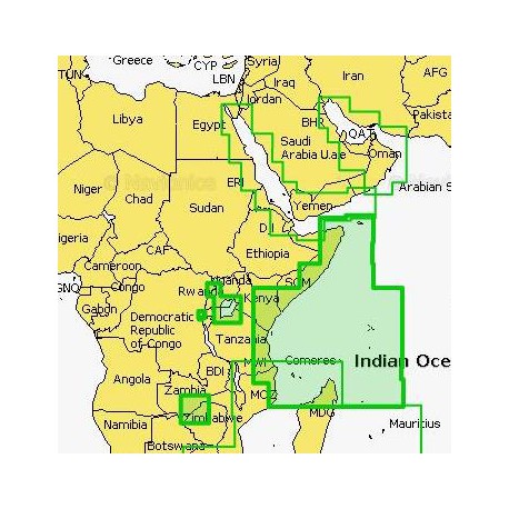
Navionics Platinum Plus Chart 27XL - NORTH EAST AFRICA
R5,000.00
R4,750.00
Tax included
Navionics Platinum Plus Charts
Exclusive features
Platinum+ offers all Gold features plus:
Far Closer Contour Detail
3D and Satellite Overlay
Panoramic Port Pictures
Dynamic Tides & Current
and much more!
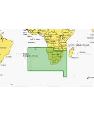
Navionics PLATINUM + CHART 27 XL
6P027XL
AFRICA N.E
Navionics Platinum Plus Charts
Exclusive features
Platinum+ offers all Gold features plus:
Far Closer Contour Detail
3D and Satellite Overlay
Panoramic Port Pictures
Dynamic Tides & Current
and much more!


Navionics PLATINUM + CHART 27 XL
6P035XL
AFRICA S.E.
Includes:
MADAGASCAR
NORTHERN MOZAMBIQUE
COMORES
SEYCHELLES
KENYA
Area 27 XL
Nautical Charts
Essential cartographic reference detail, including data from public and private sources, as well as our own surveys. Easy-to-use, interactive display, allowing to consult port plans, select safety depth contours, access marine services and other useful details.
Media
Micro Sim Card c/w Standard Sim Card Adapter
Includes SIM Card to USB Adapter in Package
Includes 12 Month Internet Subscription for FREE Updates
Update your Platinum+ after 12 Moths for a nominal Subscription Fee.

WebApp
Check out our WebApp featuring the same 2D Nautical Charts available for GPS chartplotters. Zoom in and toggle to view SonarCharts™.

Want better charts? Go boating!
Get the most up-to-date charts every day. Navionics integrates the sonar logs sent by individual users with existing data to ensure SonarCharts becomes more and more precise, even in the ever-changing conditions of sea, lake and river bottoms. Only Navionics accepts sonar logs from all major plotter brands and mobile devices. See the video, and learn more from this article and SonarCharts stories!

UPDATES ONLINE
Compatability
Navionics Platinum+ Charts are compatable with most Chart-Plotters and Combo Chart Plotter Depth Finder Units
Check for Compatability
Reviews
No customer reviews for the moment.
You need to be logged in or create an account to give your appreciation of a review.


