Marine Charts and Bathymetry

Marine Charts by Navionics & Garmin & C-Map & Lowrance for Marine Chartplotters.

SKU: M-AF-Y200-MS
(0 Reviews)
R3,430.00 R3,258.50

C-Map DISCOVER AFRICA WEST COAST Marine Chart

Cameroon to Delgoa Bay

Includes 1st Year Update Subscription

On Micro sd Card

DISCOVER all you need to make the most of your time on the water. Full-featured Vector Charts with High-Res Bathy, including integrated Genesis® social data, subscription-free Easy Routing™ and Custom Depth Shading. See things your way with C-MAP.

CASH BACK REBATE - R 720

R3,430.00 R3,258.50
Collect Pre-Paid from Durban Trade Counter or Choose Courier Shipping at Check Out
SKU: M-AF-Y201-MS

C-Map DISCOVER SOUTH AFRICA MOZAMBIQUE Marine Chart

Marine Chart

Includes 1st Year Update Subscription

On Micro sd Card

DISCOVER all you need to make the most of your time on the water. Full-featured Vector Charts with High-Res Bathy, including integrated Genesis® social data, subscription-free Easy Routing™ and Custom Depth Shading. See things your way with C-MAP.

CASH BACK REBATE - R 720.00

R3,430.00 R3,258.50
Collect Pre-Paid from Durban Trade Counter or Choose Courier Shipping at Check Out
SKU: 010-C1225-20

Garmin Navionics+ Southern Africa Coastal and Inland Charts

Region / Area AFR002R

Detailed coverage of the coast of Southern Africa and it's major inland lakes and Waterways.... Namibe, Ang. to Angoche Island, Moz. Tristan da Cunha Islands, St. Helena Island and the Prince Edward Islands.

R3,599.00 R3,329.08
SKU: 010-C1303-30/USP
(0 Reviews)
R3,630.00 R3,448.50

Navionics + Africa East (Small Chart) 

Area NAAF001R

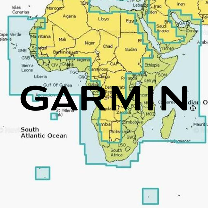
Coastal coverage of the east coast of Africa from Maputo Bay to the Horn of Africa, Zanzibar, Madagascar, Mauritius, Reunion and the Seychelles. Coverage includes the ports of Maputo, Mozambique; Dar es Salaam, Tanzania and Mombasa, Kenya.

Media: Micro SD Card and Adaptor

Includes 1st Year Navionics Subscription

R3,630.00 R3,448.50
Ships Direct from or You can Collect Pre Paid from Durban Warehouse
SKU: 010-C1304-30/ITP

NAVIONICS+ AFRICA SOUTH "SMALL CHART" S. Angola, Namibia, RSA and Southern Mozambique.

Area NAAF002R

Baia de Santa Maria (Angola) to Pebane Mozambique including a Selection of RSA Inland Waterways and South Atlantic Islands

Includes 1st Year Navionics Subscription

R3,630.00 R3,448.50
Available for Collection at World of Fishing or Courier Ships to Your Door
SKU: 010-C1305-30/USP
(0 Reviews)
R3,630.00 R3,448.50

Navionics + Africa West (Small Chart) 

Area NAAF001R

Coastal coverage of the west coast of Africa from Dakar, Senegal to Cape Cross Bay, Namibia. Detailed coverage of the Cape Verde Islands, Sao Tome and Principe, St Helena Island and Ascension Island and the ports of Dakar, Senegal; Lagos, Nigeria and Luanda, Angola

Media: Micro SD Card and Adaptor

Includes 1st Year Navionics Subscription

R3,630.00 R3,448.50
Ships Direct from or You can Collect Pre Paid from Durban Warehouse
SKU: 010-C0748-20
Brand: Garmin

Garmin BlueChart g3 Africa

Southern Coastal and Inland Charts

HXAF002R

on microSD™/SD™

Detailed coverage of the coast of Southern Africa and it's major inland lakes and Waterways.... Namibe, Ang. to Angoche Island, Moz. Tristan da Cunha Islands, St. Helena Island and the Prince Edward Islands.

R3,799.00 R3,514.08
2 - 3 Days Availability Ex Garmin Master Warehouse
SKU: 27XL

Navionics Platinum Plus Charts

Exclusive features

Platinum+ offers all Gold features plus:

Far Closer Contour Detail

3D and Satellite Overlay

Panoramic Port Pictures

Dynamic Tides & Current

and much more!

Navionics PLATINUM + CHART 27 XL

6P027XL

AFRICA N.E

R5,000.00 R4,750.00
Can Collect Pre Paid or Ships Direct from Durban Warehouse per Courier
SKU: M-AF-Y209-MS

C-Map REVEAL C-Map REVEAL SOUTH & EAST AFRICA with Shaded Relief Marine Chart

Southern Angola to Oman

Area M-AF-Y209-MS

Includes 1st Year Update Subscription

On Micro sd Card

REVEAL charts bring you the very best of C-MAP, including Shaded Relief – bringing the world around and beneath you to life in a completely new way.

CASH BACK REBATE - R 1 080.00

R5,285.00 R5,020.75
Collect Pre-Paid from Durban Trade Counter or Choose Courier Shipping at Check Out
SKU: M-AF-Y210-MS

C-Map REVEAL WEST AFRICA with Shaded Relief Marine Chart

Southern Portugal to Delagoa Bay

Includes 1st Year Update Subscription

On Micro sd Card

REVEAL charts bring you the very best of C-MAP, including Shaded Relief – bringing the world around and beneath you to life in a completely new way.

CASH BACK REBATE - R 1 080.00

R5,285.00 R5,020.75
Collect Pre-Paid from Durban Trade Counter or Choose Courier Shipping at Check Out
SKU: 010-C1225-00

Garmin Navionics Vision+ Africa Southern Coastal and Inland Charts on MicroSD Card

Area AFR 002R

Detailed coverage of the coast of Southern Africa and it's major inland lakes and Waterways.... Namibe, Ang. to Angoche Island, Moz. Tristan da Cunha Islands, St. Helena Island and the Prince Edward Islands.

R5,499.00 R5,086.58
SKU: 010-C0748-00
Brand: Garmin

Garmin BlueChart g3 Vision

Africa, Southern Coastal and Inland Charts

Area VAF002R on microSD™/SD™

Detailed coverage of the coast of Southern Africa and it's major inland lakes and Waterways.... Namibe, Ang. to Angoche Island, Moz. Tristan da Cunha Islands, St. Helena Island and the Prince Edward Islands.

R6,599.00 R6,104.08
2 - 3 Days Availability Ex Garmin Master Warehouse
SKU: 010-C1307-40/ITP

NAVIONICS Platinum + "LARGE CHART"

AFRICA, MIDDLE EAST, INDIAN OCEAN ISLANDS and St HELENA

AREA NAAF630L

Includes 1st Year Navionics Subscription

R7,850.00 R7,457.50
Ships Direct From, or You can Collect Pre-Paid from Durban Trade Counter

Sign in

Megamenu

Compare0My Wishlist0

Your cart

There are no more items in your cart