
 NAAF005R")


 Small Chart) NAAF002R")
 Small Chart) NAAF002R")


 NAAF001R")
 NAAF001R")
 NAAF005R")


There are no more items in your cart


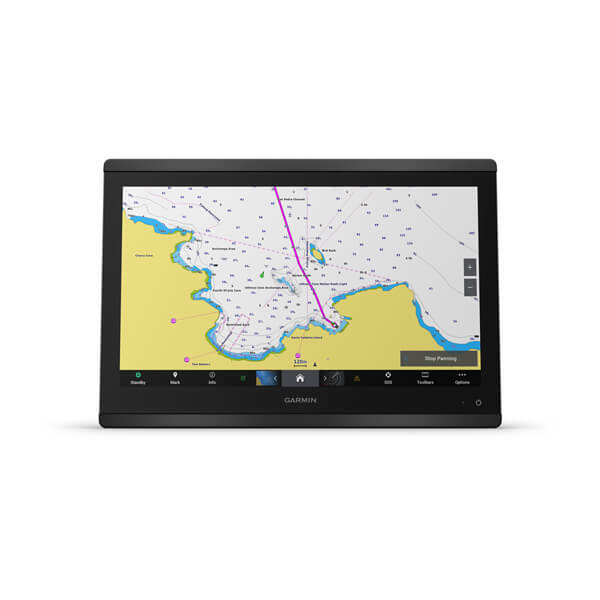
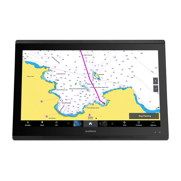
Garmin BlueChart g3 Vision Africa Southern Coastal and Inland Charts VAF002R on microSD™ SD™
R6,599.00
R6,104.08
Tax included
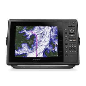
Garmin BlueChart g3 Vision
Africa, Southern Coastal and Inland Charts
Area VAF002R on microSD™/SD™
Detailed coverage of the coast of Southern Africa and it's major inland lakes and Waterways.... Namibe, Ang. to Angoche Island, Moz. Tristan da Cunha Islands, St. Helena Island and the Prince Edward Islands.
Garmin BlueChart g3 Vision
Africa, Southern Coastal and Inland Charts
Area VAF002R on microSD™/SD™
Coverage
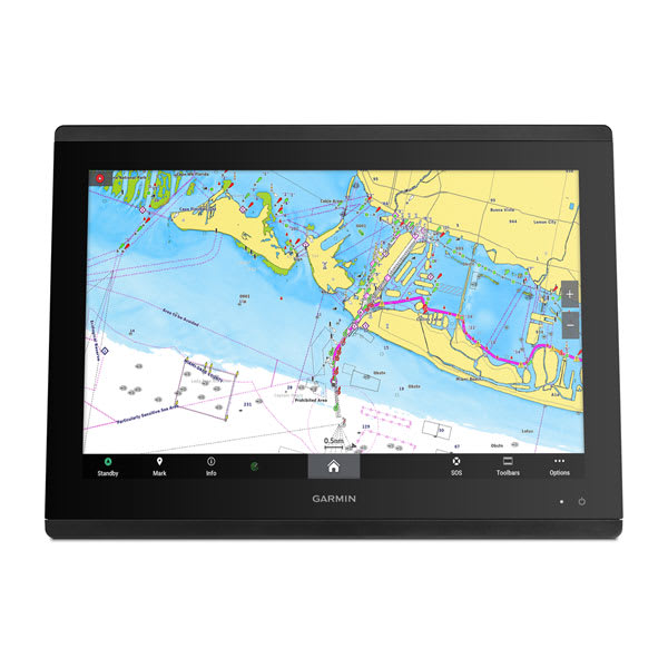
Detailed coverage of the coast of southern Africa and it's major lakes. Coverage is from Namibe, Ang. to Angoche Island, Moz. including the ports of Cape Town, Durban and Port Elizabeth, SA and Maputo, Moz. Coverage also includes Lakes Kariba, Cahora Bassa, the Vanderkloof and Gariep Dams, the Bloemhof Dam/Vaal River/Vaal Dam system, the Tristan da Cunha Islands, the island of St. Helena and the Prince Edward Islands. Also includes Relief Shading for a select number of dams, such as Loskop, Arabie, Vaal River, Witbank, Roodekoppies, Midmar, Nandoni, Spienkop, Albert Falls, Inanda, and more.
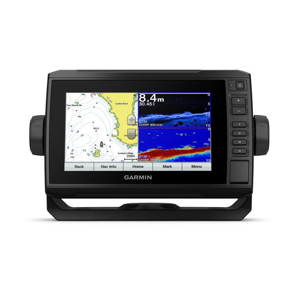
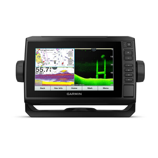
Our Premium Chart Offering
- Derived from official charts and private sources to provide navigational aids, spot soundings, depth contours, tides and currents, and detailed harbors and marinas
- Garmin Auto Guidance technology shows a suggested route to a destination¹
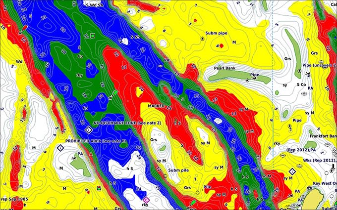
- Depth Range Shading for up to 10 depth ranges enables you to view your target depth at a glance
- Up to 1-foot contours provide a more accurate depiction of the bottom structure for improved fishing charts and navigation
- Shallow Water Shading feature allows for depth shading at a user-defined level to aid in navigation
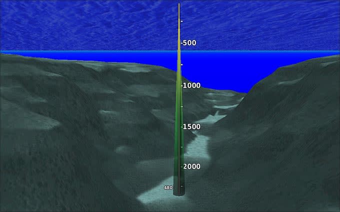
- Unique 3D views like MarinerEye and FishEye provide additional perspective both above and below the water line
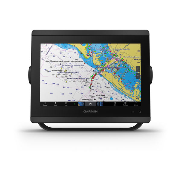
- High-resolution satellite imagery of ports, marinas, bridges and navigational landmarks for superior situational awareness
- Worldwide coverage available
- Keep your charts up to date with our industry-leading New Chart Guarantee and discount card update program
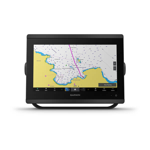
Auto Guidance¹
Auto Guidance technology quickly calculates a suggested route using your boat's dimensions and a suggested path to follow.
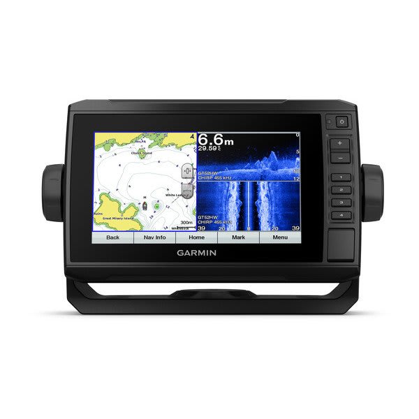
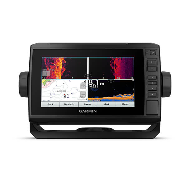
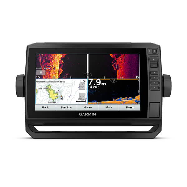
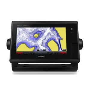
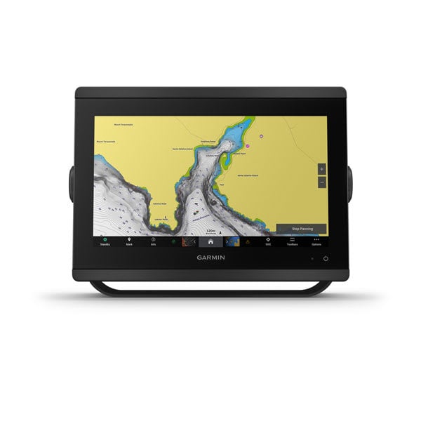
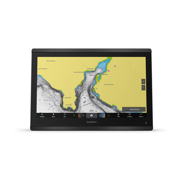
High Resolution Relief Shading
This exceptional shading feature combines color and shadow to give you an easy-to-interpret view of bottom profile, making it easy to find artificial reefs, underwater shelves and more. High-resolution relief shading is available as a free downloadable feature via the FREE ActiveCaptain® app.
Depth Range Shading
Displays high-resolution Depth Range Shading for up to 10 depth ranges so you can view your designated target depth.
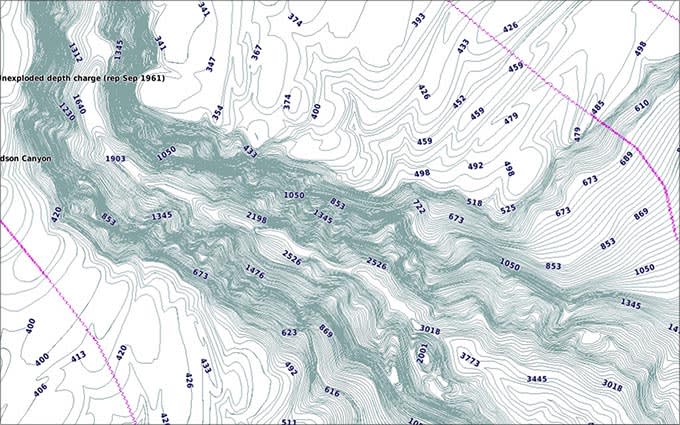
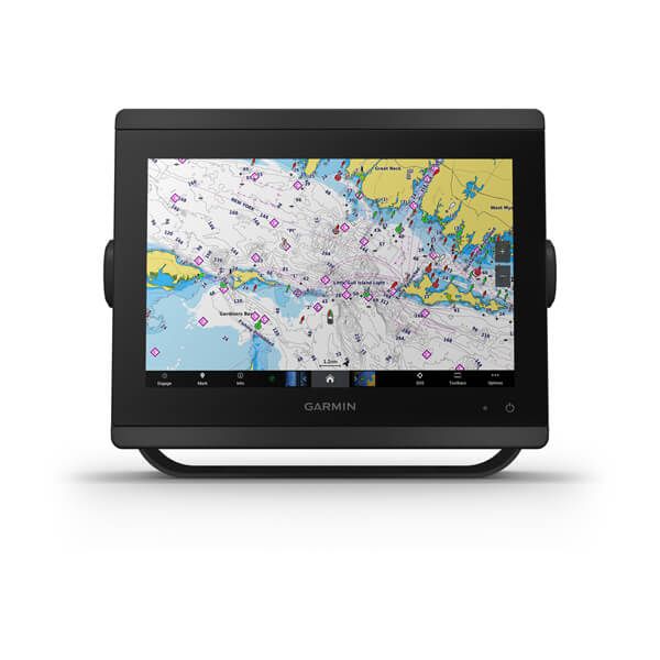
Detailed Contours
BlueChart g3 Vision HD features 1-foot contours that provide a more accurate depiction of bottom structure for improved fishing charts and enhanced detail in swamps, canals and port plans.
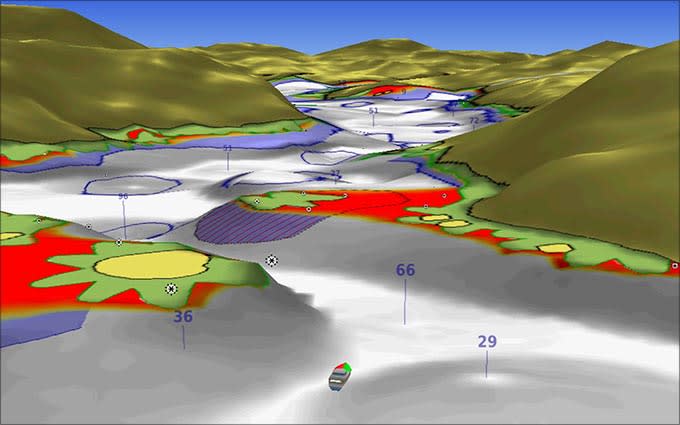
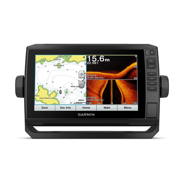
MarinerEye View
Provides a 3-D representation of the ocean floor as seen from below the waterline.
FishEye View
Provides a 3-D representation of the surrounding area both above and below the waterline.
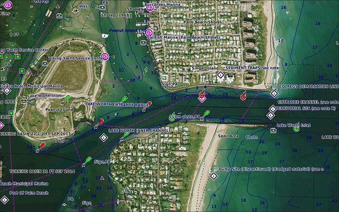
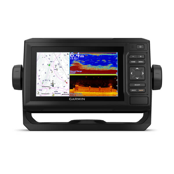
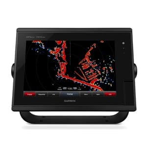
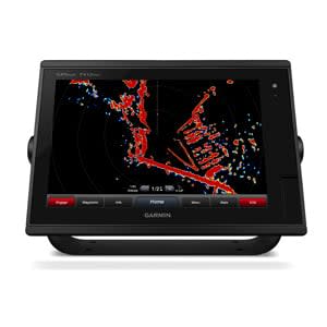
High-resolution Satellite Imagery
High-resolution satellite imagery with navigational charts overlaid gives you a realistic view of your surroundings so you can navigate with a clear moving-chart representation of your boat’s position. It’s our most realistic charting display in a chartplotter.
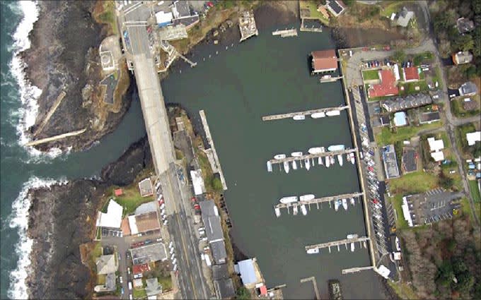
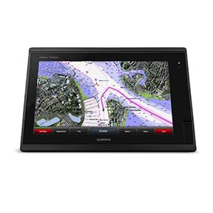
Aerial Photography
Crystal clear aerial photography shows exceptional detail of many ports, harbors and marinas and is ideal when entering unfamiliar ports.
BlueChart Feature Comparison
|
Feature | BlueChart g3 Vision | BlueChart g3 |
|---|---|---|
| Integrated Garmin and Navionics content | • | • |
| Auto Guidance¹ technology | • | • |
| Depth range shading | • | • |
| Up to 1' contours | • | • |
| Shallow water shading | • | • |
| Raster cartography² | • | • |
| High-resolution relief shading | • | |
| Unique 3-D views | • | |
| High-resolution satellite imagery | • | |
| Aerial photos | • |
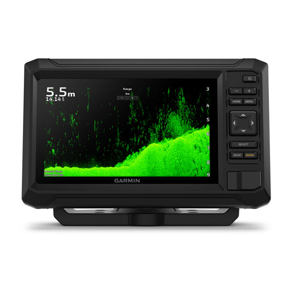
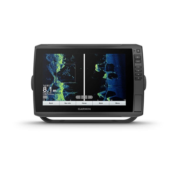
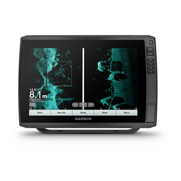
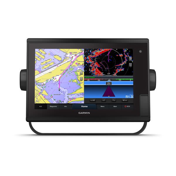
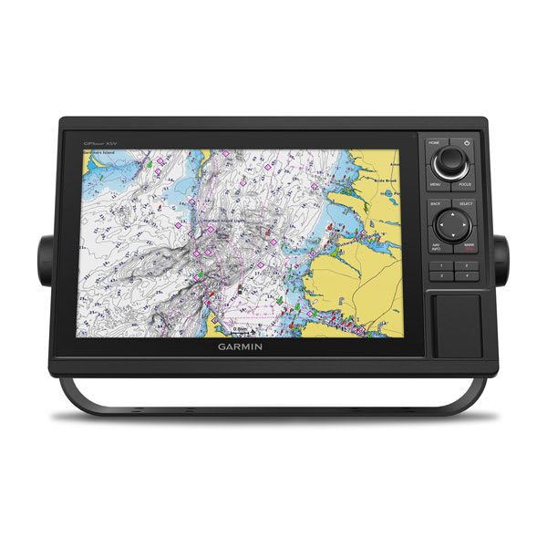
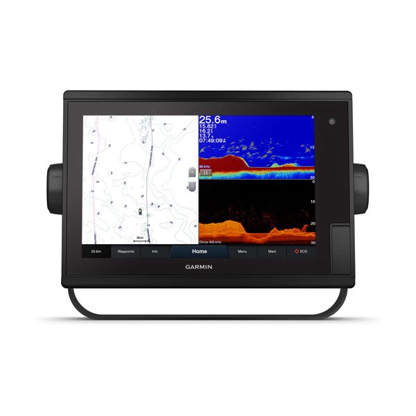
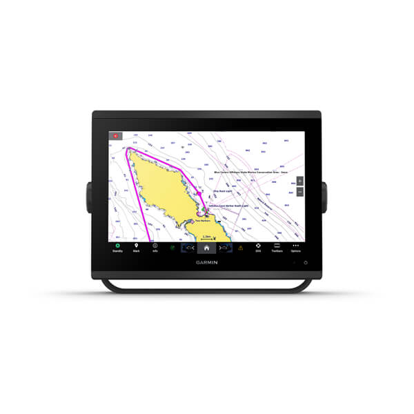
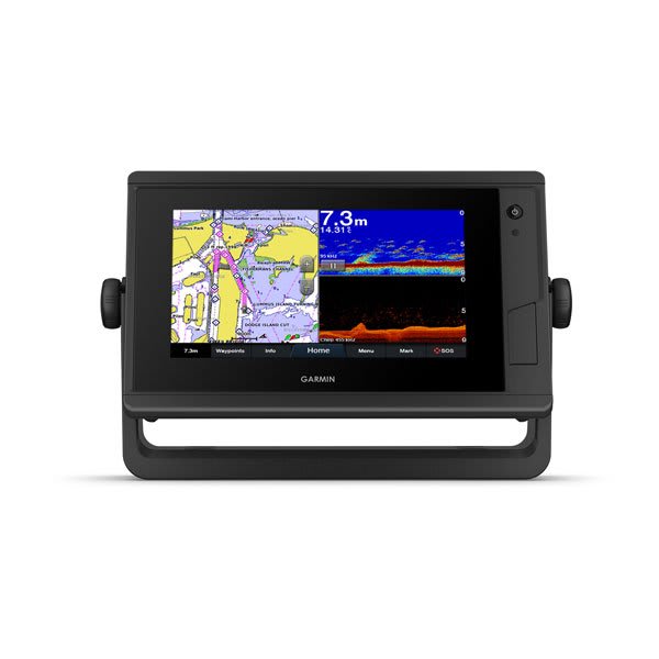
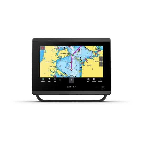
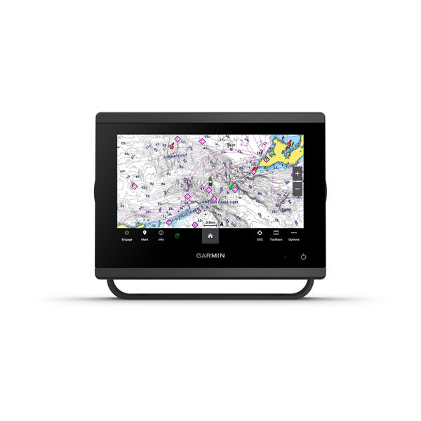
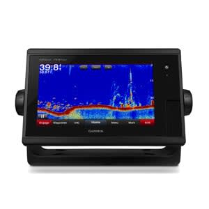
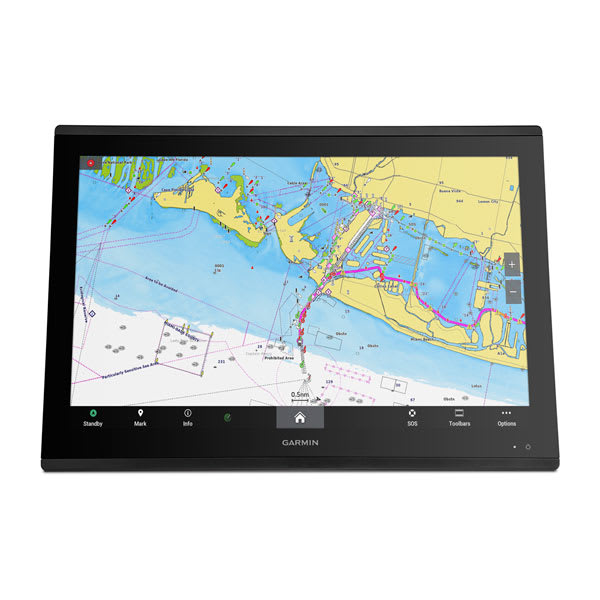
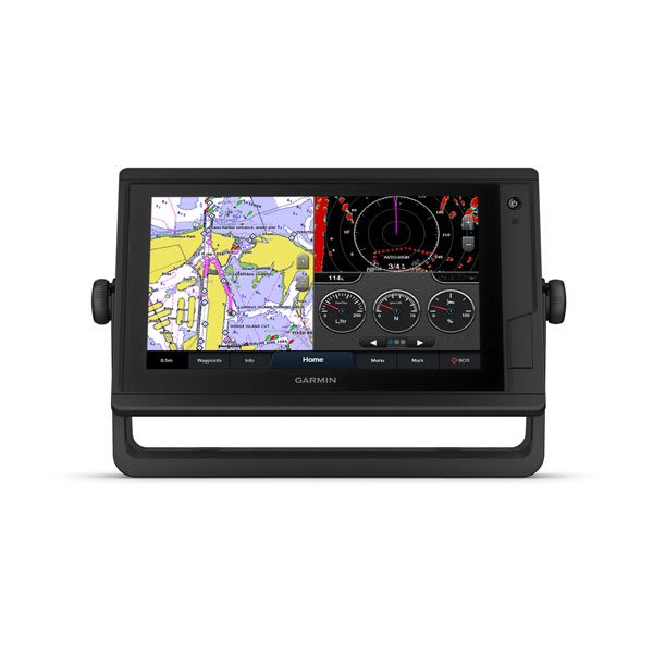
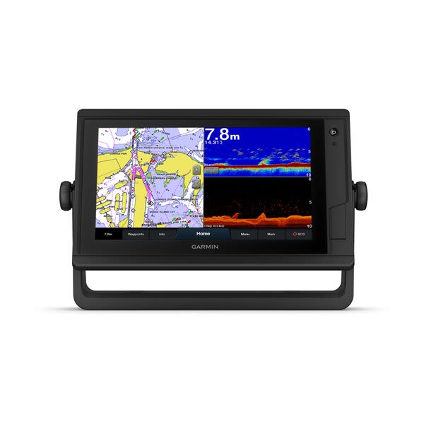
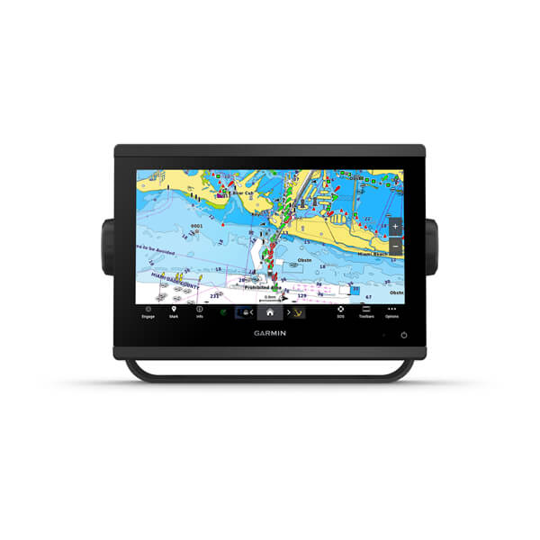
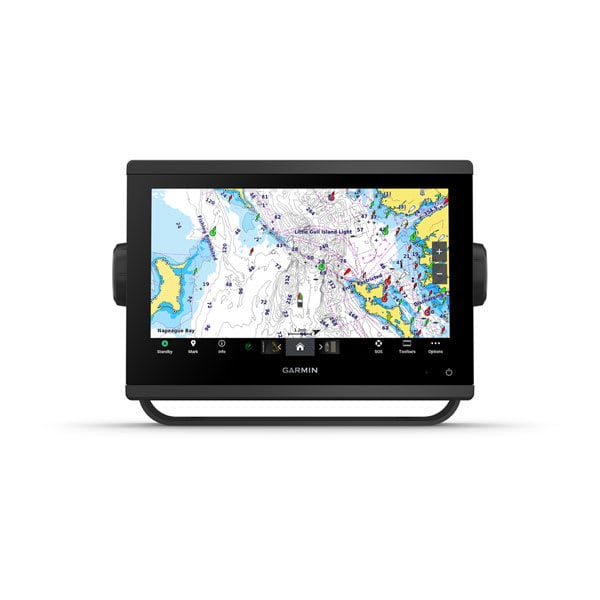
Compatable Garmin Devices
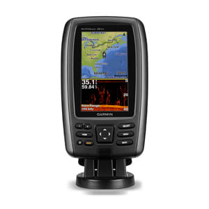
echoMAP™ 42dv
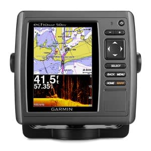
echoMAP™ 50dv
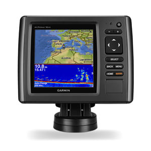
echoMAP™ 52dv
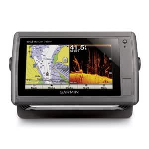
echoMAP™ 70dv
echoMAP™ 71sv

echoMAP™ 72sv
echoMAP™ 91sv

echoMAP™ 92sv
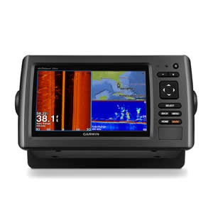
echoMAP™ CHIRP 42cv
echoMAP™ CHIRP 92sv
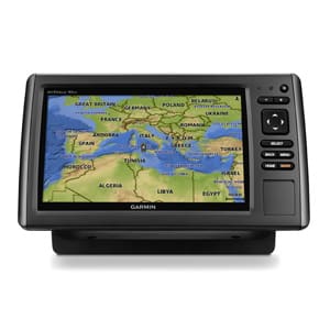
ECHOMAP Plus 42cv
ECHOMAP Plus 62cv
ECHOMAP Plus 72cv

ECHOMAP Plus 72cv
ECHOMAP Plus 72sv

ECHOMAP Plus 72sv
ECHOMAP Plus 92sv

ECHOMAP Plus 92sv
ECHOMAP UHD 62cv
ECHOMAP™ UHD 72cv
ECHOMAP™ UHD 72sv
ECHOMAP™ UHD 92sv
ECHOMAP™ UHD2 5" Chartplotter
ECHOMAP™ UHD2 7" Chartplotter
ECHOMAP™ Ultra 102sv
ECHOMAP™ Ultra 122sv with GT56UHD-TM Transducer
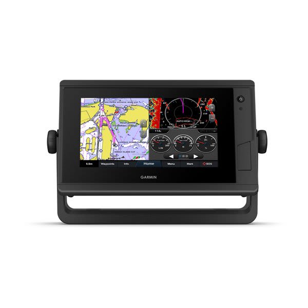
GPSMAP® 1020
GPSMAP® 1020xs
GPSMAP® 1022
GPSMAP® 1022xsv
GPSMAP® 1222
GPSMAP® 1222 Plus
GPSMAP® 1222xsv
GPSMAP® 1222xsv Plus
GPSMAP® 1223, Non-sonar with Worldwide Basemap
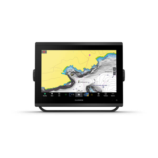
GPSMAP® 1223xsv, SideVü, ClearVü and Traditional CHIRP Sonar with Worldwide Basemap
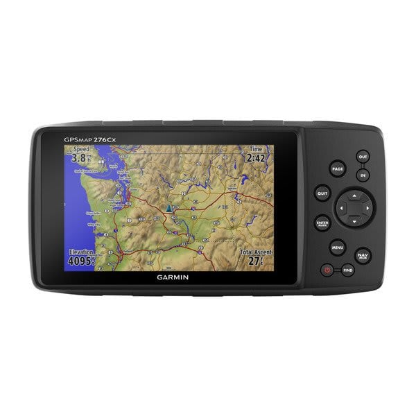
GPSMAP® 276Cx
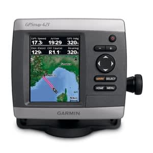
GPSMAP® 421s
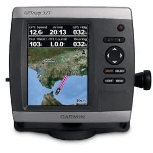
GPSMAP® 521

GPSMAP® 521s
GPSMAP® 620
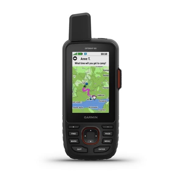
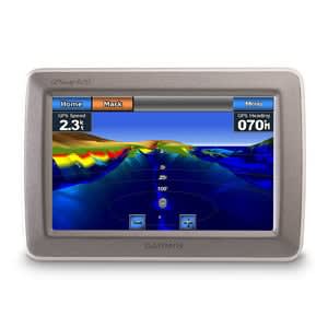
GPSMAP® 66i
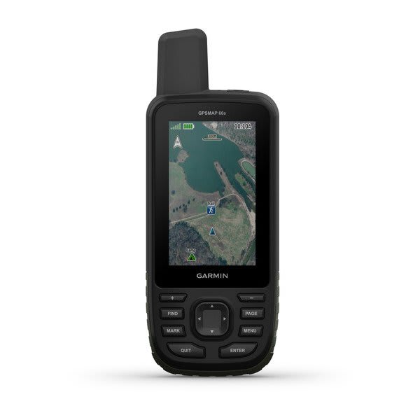
GPSMAP® 66s
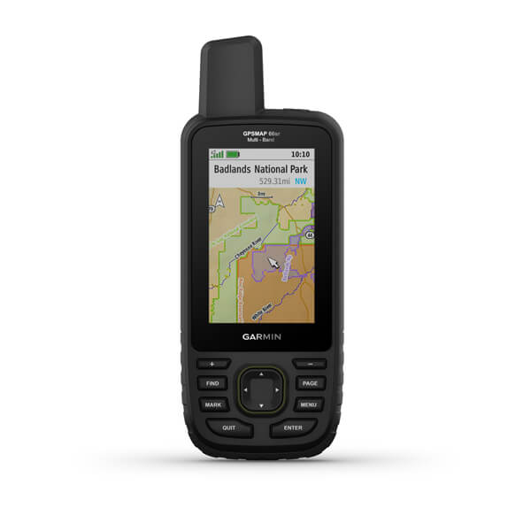
GPSMAP® 66sr
GPSMAP® 67
GPSMAP® 67i

GPSMAP® 720
GPSMAP® 720s
GPSMAP® 722 Plus
GPSMAP® 722xs Plus
GPSMAP® 723, Non-sonar with Worldwide Basemap
GPSMAP® 723xsv, SideVü, ClearVü and Traditional CHIRP Sonar with Worldwide Basemap
GPSMAP® 7407xsv
GPSMAP® 7408xsv
GPSMAP® 7410xsv J1939
GPSMAP® 7412xsv
GPSMAP® 7416xsv
GPSMAP® 8410
GPSMAP® 8410xsv
GPSMAP® 8412
GPSMAP® 8412xsv
GPSMAP® 8416
GPSMAP® 8416xsv
GPSMAP® 8417 MFD
GPSMAP® 8422 MFD
GPSMAP® 8424 MFD
GPSMAP® 8700 Black Box
GPSMAP® 922 Plus
GPSMAP® 922xs Plus
GPSMAP® 923, Non-sonar with Worldwide Basemap
GPSMAP® 923xsv, SideVü, ClearVü and Traditional CHIRP Sonar with Worldwide Basemap
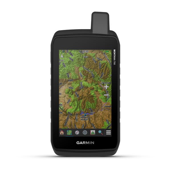
Montana® 700
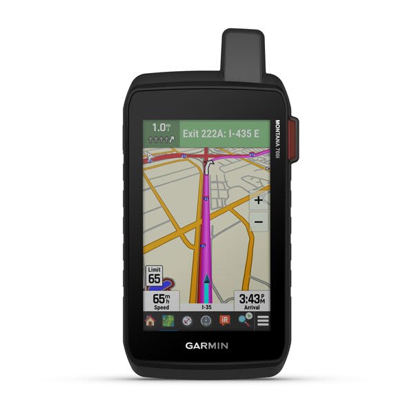
Montana® 700i
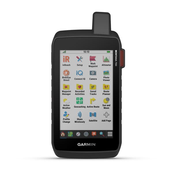
Montana® 750i
Panoptix™ Ice Fishing Bundle
Reviews
No customer reviews for the moment.
You need to be logged in or create an account to give your appreciation of a review.