Garmin GPSMAP 723 - Non-sonar Chartplotter with WW Basemap SALE
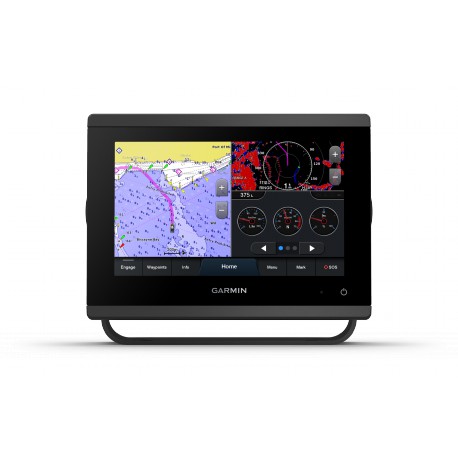
Garmin GPSMAP 723 - Non-sonar with Worldwide Basemap
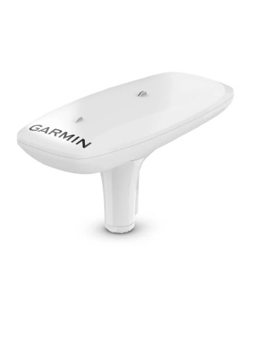
- GPSMAP 723 chartplotter
- Power cable
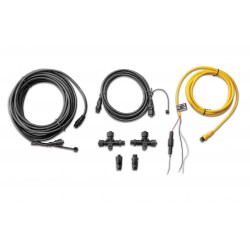
- NMEA 2000® T-connector
- NMEA 2000 drop cable (2 metres)
- Bail mount kit with knobs
- Flush mount kit with gasket
- Protective cover
- Trim piece snap covers
- Documentation
Garmin GPSMAP 723 - Non-sonar with Worldwide Basemap
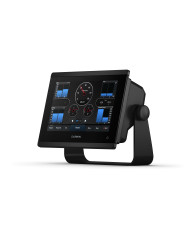
Get a sharper view from your connected helm with the GPSMAP® 723 chartplotter. Its higher-resolution 7 inch display has 60% more pixels
than previous-generation touchscreens. The ultrasleek design and nearly double the processing power of previous-generation GPSMAP devices offer
seamless integrationinto your Garmin marine system — with support for optional charts and Auto Guidance1 technology to add confidence in helping
you get where you need to go.
Easily build your marine system — from compatible sonar and autopilots to compatible radar, cameras and multimedia — using HTML 5.0, NMEA 2000®
and NMEA 0183 network connectivity, J1939 for engines and the Garmin Marine Network. See RPMs, fuel flow, temperature, trim and more for up to
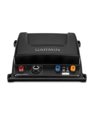
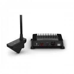
four compatible Mercury engines by using the SmartCraft Connect gateway.Add Panoptix™ FrontVü forward-looking sonar2 (sold separately) for help in
avoiding underwater obstructions ahead. Or pair your plotter with your other compatible Garmin devices, such as quatix® marine smartwatches, wind
transducers, wireless remote controls and more.
- GPSMAP 723 chartplotter
- Power cable
- NMEA 2000® T-connector
- NMEA 2000 drop cable (2 metres)
- Bail mount kit with knobs
- Flush mount kit with gasket
- Protective cover
- Trim piece snap covers
- Documentation

SPECIFICATIONS
Physical & Performance
| Display Size |
6.1 in 3.5 in; 7.0 in diagonal (15.4 x 9.1 cm; 17.8 cm diagonal) |
| Power Input | 10 to 32 Vdc |
| Display Resolution | 1024 x 600 pixels |
| GPS | Yes |
| Dimension | 7.6 in x 5.5 in x 2.9 in (19.2 x 14.0 x 7.4 cm) |
| Receiver | 10 Hz high-sensitivity |
| Waterproof | IPX7 |
| Weight | 2.8 lbs (1.3 kg) |
| Mounting Options | Bail, flush or flat |
| Display Type | WSVGA display |
Maps & Navigation
| Garmin Navionics Vision+™ | Yes |
| Accepts Data Cards | 2 microSD™ cards (back of unit) |
| Navigation Routes | 100 |
| Garmin Navionics+™ | Yes |
Features
| Waypoints | 5,000 |
| Sailing features | Yes |
| NMEA 0183 Compatible | Yes |
| Has built-in receiver | Yes |
| USB ports | Yes |
| TOPO | Yes |
| SideVü | yes (with GCV™ black box, sold separately) |
| DSC | Yes |
| Touchscreen | Yes |
| LakeVü g3 Ultra | Yes |
| NMEA 2000® compatible | Yes |
| ActiveCaptain Mobile Planning Compatible |
yes |
| Typical current draw at 12 Vdc | 1.08 A |
| NMEA 2000® ports | 1 |
| Tide tables | Yes |
| GLONASS | Yes |
| Track points | 50,000 |
| Panoptix™ sonar | Yes |
| Garmin Marine Network Ports | 1 |
| LakeVü g3 | Yes |
| Supports WAAS | Yes |
| GSD Black Box Sonar Support | Yes |
| Maximum current draw at 12 Vdc | 1.45 A |
| Garmin SmartMode compatible (customisable monitor presets) | Yes |
| Built-in Auto Guidance | Yes |
| Maximum power usage at 10 Vdc | 17.6W |
| BlueChart g3 | Yes |
| Standard Mapping | Yes |
| LakeVu (inland) | Yes |
| Displays sonar | Yes |
| ANT+ (Connectivity) | Yes |
| GCV Black Box Sonar Support | Yes |
| BNC external GPS antenna port | Yes |
| Connections NMEA0183 Input Ports | 1 (Differential) |
| Spoken audio alerts | Yes |
| BlueChart g3 Vision | Yes |
| Garmin Wi-Fi network (local connection) | Yes |
| J1939 ports | 1 |
| Input | Touchscreen |
| Garmin Quickdraw Contours | Yes |
| Bluetooth® calling | Yes |
| AIS | Yes |
| Raster chart support | Yes |
| NMEA 0183 input (Tx) ports | 1 |
| OneHelm support | Yes |
| ClearVü | yes (with GCV™ black box, sold separately) |
| Tracks | 50 saved tracks |
| Wireless remote compatible | Yes |
| Supports Fusion-Link™ compatible radios | Yes |
| Galileo | Yes |
| LiveScope | Yes |
| BlueChart (coastal) | Yes |
| Traditional sonar (dual frequency/beam) | yes (with GCV™ black box, sold separately) |
| GRID™ (Garmin Remote Input Device) compatible | Yes |
| Video input ports | 1 BNC |
Reviews
No customer reviews for the moment.
You need to be logged in or create an account to give your appreciation of a review.

